As the weather brightens (or continues to rain, feels like home 😀) I have dragged some willing volunteers out with me into the wilderness. We are good at maps here at Skywells – for hikes, exploring, cycling etc for our guests. I’ve been angry for a decade at the quality of maps I find in China and took matters into my own hands – and made my own.
As time has gone by, ancient trails and forest paths come up against two eternal forces: Mother Nature and the China Roads network. When those on high deign it time, new country roads dart through the hills joining up the last branches of the tree, of which there are hundreds. Much like the trans American railroad, this brings money, development, education and opportunities to some of China’s poorest people. Its also pretty harmless after the messy diggers have returned to their sheds and the roads settle into the surroundings.
The cyclists who visit us, with their Italian carbon fibre frames and unfathomably tight Lycra shorts are delighted by this. Smooth, quiet, beautiful roads whizzing through the hills. Where those high and I tend to butt heads a little is what this means for my walking paths. Often a new road will be laid on my old walking paths as an existing route through the hills from A to B. My job is to make sure we always have something new and exciting for guests to walk on without getting lost or trudging along roads.
1/. Re-treading the old postal trail
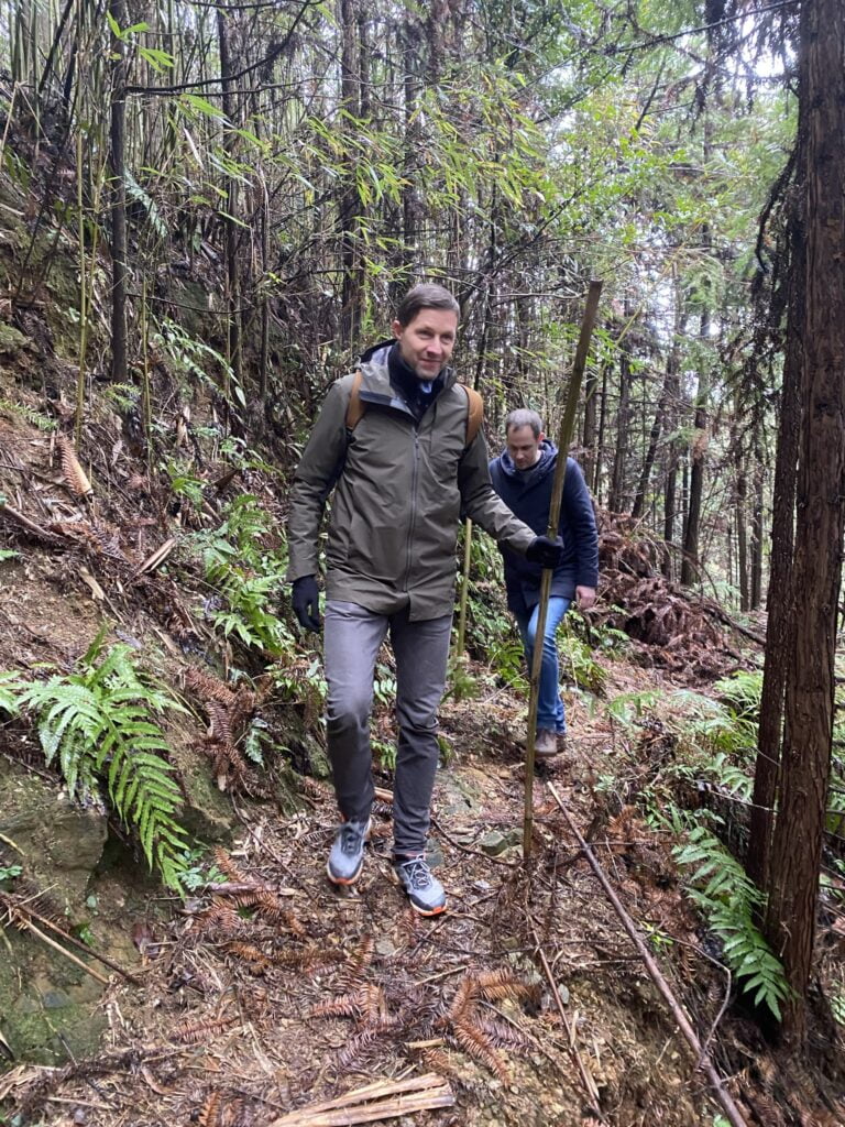
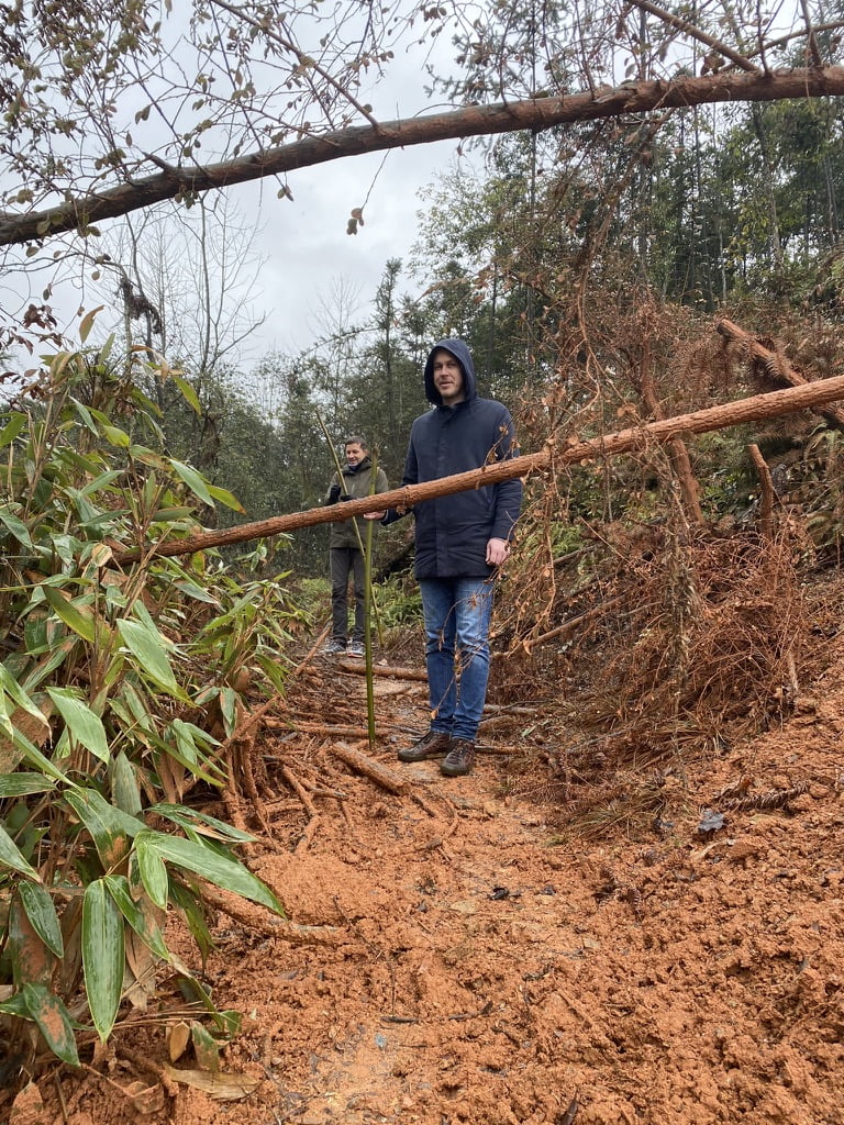
With this in mind, I’ve grabbed the opportunity of the quiet winter months when friends have been to stay. Matthias and Ralf got the opportunity to re-explore a limestone trail we used to use before a new road was made. The trail itself was still in great shape, despite some villagers cutting the odd tree for firewood. We hit a hard stop at midday when the rain began, and we hit some construction way up in the hills. With our tail between our legs, we summoned a taxi to take us to lunch where spicy food and spicier alcohol awaited.
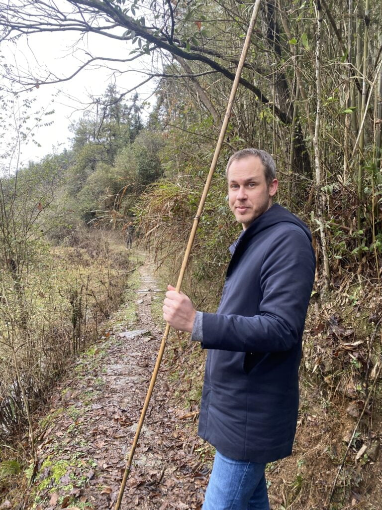
2/. Something long and new
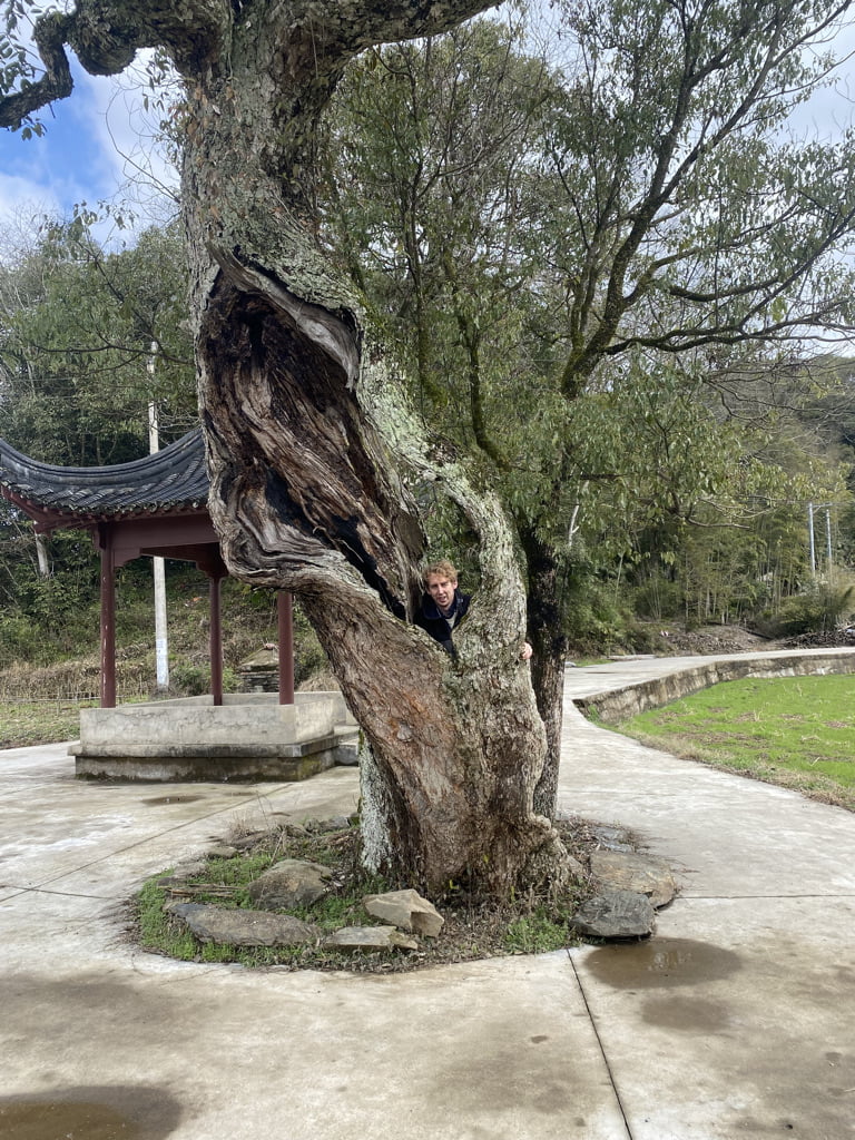
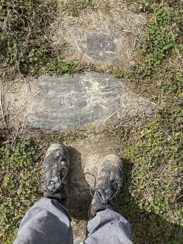
For my next trick, an old school alumni, Stu got the chance to try a big one that had bugging me a bit. I’ve noticed that a lot of the trails on our map seem to add up – this village to that village which I’ve cycled past, with some lovely limestone trails. I look at a nice old piece of limestone bending off through the fields as a younger man would a shapely young lady. I frequently stop, say ‘ppphhhwoaaarrr’ and take photos, to the bemusement of my traveling companions.
Stu asked me how far we were going.
‘not sure. possibly far’
‘OK’
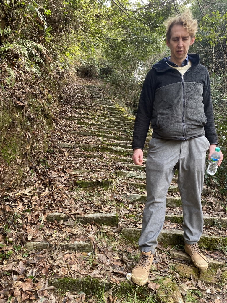
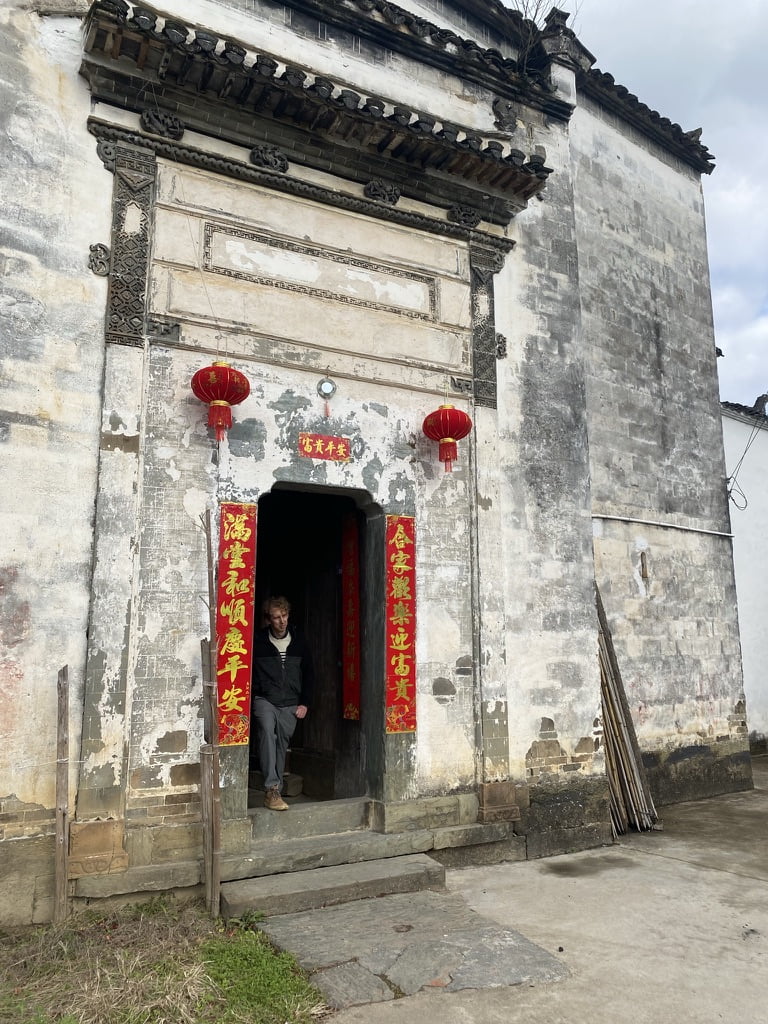
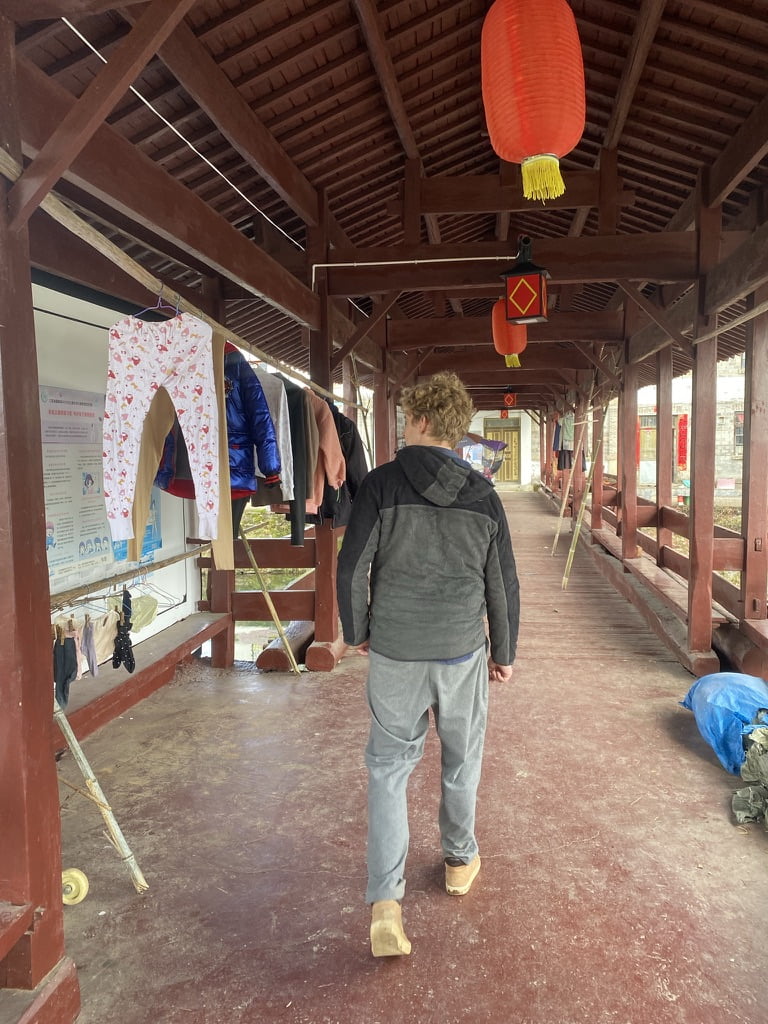
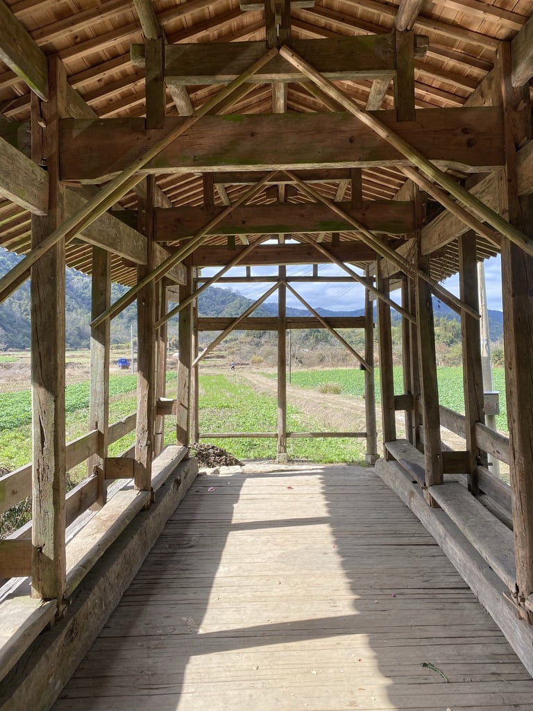
What followed was what I can only describe as a delightful ramble in the sunshine through some of the county’s ancient postal trails We went through fields, up and down wobbly staircases, over bridges and through some tumbledown villages. A huge success ending in a bar we happened to stumble into. Couldnt have asked for more. 23km in all means it will be for only the keenest of ramblers, but we made it round in 6 hours, including time for beer and peanuts on the bridge. Thoroughly recommended. Theres a fair bit of work to get it into a way guests can use – I’ll be test running it on some of the arrivals in March.
Watch this space.